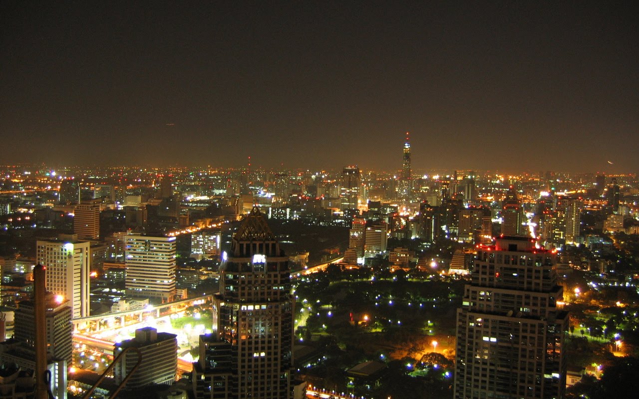
This recent photo is a sadly humorous hint of the looming threat to Bangkok's very existence. Bangkok's Watery Doom may well creep up silently in the next 10 years, perhaps 15 (if luck holds). The city is only one metre above sea level (on average), and has been sinking by about 10cm per year. Oh bittersweet Arithmetic! thy name spells Truth.
spacer
If you click on this link, you will get an interactive flood map (flood.firetree.net) which will look something like this:

(You can biggen any photo by clicking on it)
spacerYour family can have hours of fun mercilessly flooding the entire city of Bangkok with whatever depth of water you choose. Whee! It's just as if you're playing some silly computer game, except that, like, this is for real, dude... The map represents average Sea Level under normal conditions at present. But with a mere click of your mouse, you can raise Sea Level by any depth you dictate - simply click the drop-down menu at the top left of your screen. Watch what happens to the entire Bangkok river delta. Ouch.
spacer
Note, though, that some areas on the coast near Bangkok, notably Samut Sakhon and Samut Prakan, are already regularly under seawater at high tides. They're an omen of things to come.
spacer
Or you can zoom in to visit whichever specific part of Bangkok you want to inundate. To zoom in to the glitzy shopping tourist area around Pathumwan, Silom and Siam Square, for instance, click the + (the slider at the top left corner of the map) about 4 or 5 times. You'll arrive at a screen which looks like this:

You may notice, however, that the deeper you click your desired flood-depths, the more the central area of Bangkok (around Pathumwan, Silom, Siam Square, etc) appears to remain stubbornly and reassuringly dry. But no, it's not perched on a hill, nor protected by dyke walls à la Holland. Even if you increase flooding to, say, as much as TWENTY metres deep, there are still apparently some spots which remain dry!
So... can the technology be so wrong??
spacer
Simple explanation: the central city area is extremely highly built-up, with large trees frequently filling gaps between buildings. The mapping satellite necessarily understands the tops of these buildings and treetops as representing ground-level, thereby considerably under-estimating realistic flood depths. Only in larger open flat areas - such as Benjakiti Park (just to the east of Lumphini Park) - is the terrible and soggy truth more accurately revealed. Some twenty million environmental refugees may need to re-locate - quite soon. That's a monumentally more massive evacuation than George Dubya Bush's tiny dress rehearsal at New Orleans.
George? Remember George?
spacer
Many people - initially those with means - are already choosing to abandon Bangkok in search of drier areas. Prices for nearby elevated land - what there is of it - are truly skyrocketing out of reach of all but the One-Percenters. One of the logical and eligible new places to colonize, at first glance, might appear to be Kanchanaburi, to Bangkok's north-west. But that may well be a case of "out-of-the-frying-pan-into-the-fire". Kanchanaburi is on a known earthquake fault-line, yet boasts a huge dam whose wall is already visibly damaged. A major breach could wipe out no fewer than 13 provinces, including Bangkok. The wall is rated as "safe" only for quakes up to 7.5 on the Richter Scale. Er, now what were those principles we were supposed to have learned from Fukushima?
spacer
But do I note (with some surprise, I must confess) that the Thai parliament has (as I suggested back in 2007) cautiously raised the sensitive possibility of re-locating Bangkok in its entirety - wow. At last, someone's waking up! A move like this, as it happens, would actually be a continuation of an ancient Thai tradition. The Thai capital has been shifted several times over its history (eg Sukhothai, Ayuthaya, etc), but that was well before the era before concrete skyscrapers, Skytrains and other recent idiosyncracies such as "permanency". Traditional Thai teak houses were once designed without nails to be dimantle-able and easily relocated. I suspect this latest timid hint about shifting Bangkok will promptly get shunted sideways - these are fragile political/economic times. Sure, the proposal seems to have submerged into political oblivion already - it's all too hard - but there can be no doubt that the 2011 Big Flood will change the Thai national conversation forever.
Besides, there will soon be precious little choice.
Besides, there will soon be precious little choice.

Ironically, a traditional symbol threading itself through the silken fabric of Thai
society is that of the Boat. Bangkok in particular used to be very much a water-
based culture ('Venice of the East'), with food-vendors paddling canoes from house
to house along endless networks of canals. These days, antique "noodle-vendor
canoes" are frequently featured in restaurants, even way up on dry land, as
prestigious historical evidence of the establishment's 'food pedigree'.
spacerspacer
OK... let's talk Causes. Why does Bangkok flood?
spacer
Firstly, filling in Bangkok's networks of canals to create roads was a bad call - FAIL - and has contributed in no small part to the city's current flood woes. These days, floodwater now has nowhere to spread out when a monsoon flood does come down the river delta - as it always has - from the north. Bangkok was built on a huge swampy drain, let's face it (another bad call: FAIL). Suvarnaphumi Airport, for example, was built on an area formerly known as 'Cobra Swamp' (nŏng nguu hao). It is still one of the lowest areas in all Bangkok, but now has a 3.5 metre dyke wall all round to keep floods out (and the cobras in??).
spacer
Secondly, unregulated massive pumping up of groundwater (for both commercial and domestic use) is contributing to the entire cityscape sagging loosely downwards under its hugely heavy load of concrete and steel... FAIL. (Get a load of this pic of the Skytrain near Siam Square, or here at Ratchaprasong intersection. Imagine the foundations). Bangkok literally floats on a giant waterbed - Thai people are quite blasé about fresh cracks appearing in walls or floors... mâi bpen rai.
spacer
And thirdly (but hardly least), do I need to mention those pesky rising sea-levels due to Global Warming? Note also that Bangkok's Chao Phrya river is tidal for quite some distance inland, therefore can virtually stop flowing at times of very high tides, thereby severely increasing the back-flow into the few remaining canals. Even back in 1992, while I was staying at a friend's house in Bangkok, he warned me that the downstairs toilet only flushed properly at low tide... and yep, you bet, that failed too :-(
spacer
So - how much longer can Thai people continue to look away, citing Severe Chronic Cognitive Dissonance Syndrome? Bangkok, which is slowly succumbing under this gigantic environmental pincer effect, is even now being unwillingly forced to revert to its traditional boating habits:

What will this Bangkok street look like by 2020?
Hey, but at least canoes don't emit CO2 ;-)
Hey, but at least canoes don't emit CO2 ;-)
spacer

After you're done flooding Bangkok, why not navigate the map
to check the flood status of your own country/town/street?
Good luck (in Thai: chok-dee).
spacer
Site sponsored by https://funkypix2-real-estate-bargains-4u.com
a warm & fuzzy subsidiary of Halliburton Corporation Canoe-Sales Division.
Proudly supporting Vulture Capitalism, World Bank Bailouts,
& Compassionate Rendition to countries of your choice.
a warm & fuzzy subsidiary of Halliburton Corporation Canoe-Sales Division.
Proudly supporting Vulture Capitalism, World Bank Bailouts,
& Compassionate Rendition to countries of your choice.